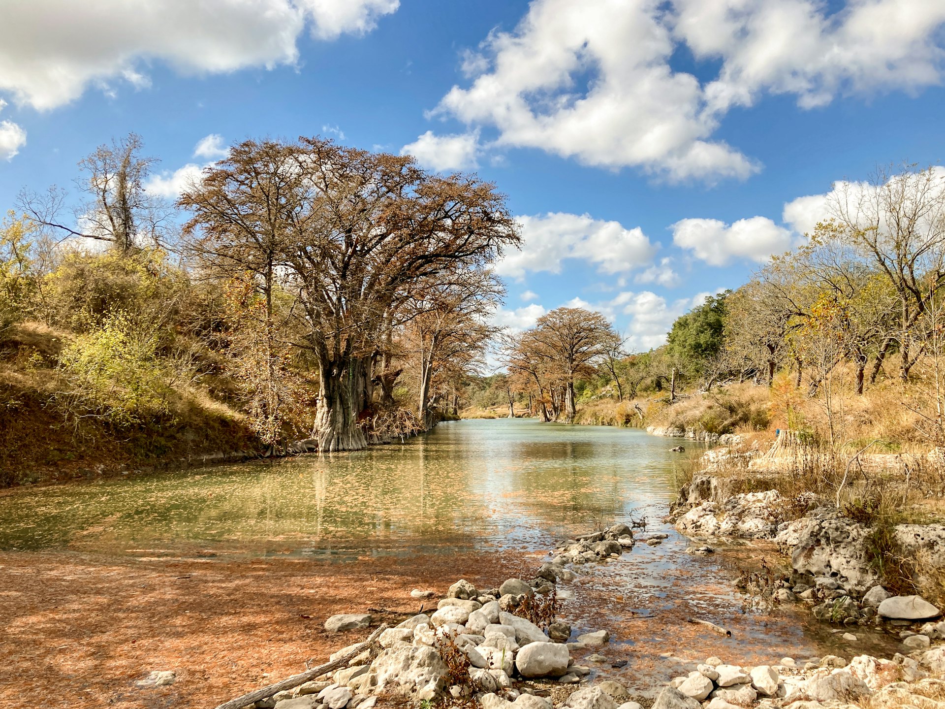
Know the river before you go.
Live river flows, lake levels, flood status, and boat-ramp openings across Central Texas, turned into a straight answer: is it good to float today?
On the water right now
Open the full tracker →Rivers, lakes, and ramps, all in one place
Four rivers, Texas lake levels, and live Canyon Lake boat-ramp status, the same trustworthy government data, read like a guide instead of a spreadsheet.
- Guadalupe →
Below Canyon Dam, River Road & Gruene.
- Comal →
Spring-fed New Braunfels; floatable year-round.
- San Marcos →
Crystal-clear spring water in San Marcos.
- Frio →
Concan & Garner, clear, cold Hill Country water.
- Canyon Lake →
Flood tracker: basin cascade, NWS inflow forecast, lake level & dam releases.
- Texas lakes
Travis, Buchanan & Medina reservoir levels.
- See them all live →
Built by someone who’s run these rivers
Most river-conditions sites just mirror the same free government data. FloatTX is built by a Central Texas river guide who’s read these rivers since 2003 (by tube, raft, and fly rod) and spent a decade helping run one of the country’s largest outfitters. So the flow bands are what actually floats, and the hazards we flag are the ones that actually hurt people.
Live USGS flows, TWDB lake levels, and NWS flood thresholds, pulled direct and translated into plain go / no-go language, with the source on every number.
The flow bands come from real outfitter and river-guide experience, not a generic formula, so “good to float” actually means good to float.
FloatTX informs, it’s never the go/no-go authority. We flag hazards, flooding, and stale readings, and always point you to confirm with local outfitters.
Keep the river in your pocket
Add the live tracker to your home screen and check conditions in one tap, every morning, right from the riverbank.
Booking a float?
Find the established tube, raft, and kayak outfitters on each river, who to call to get on the water.
Coming this summer
- River-by-river section guides
- Whitewater & dam-release reports
- Saved trackers & flow alerts