Upper Guadalupe & Canyon Lake flood tracker
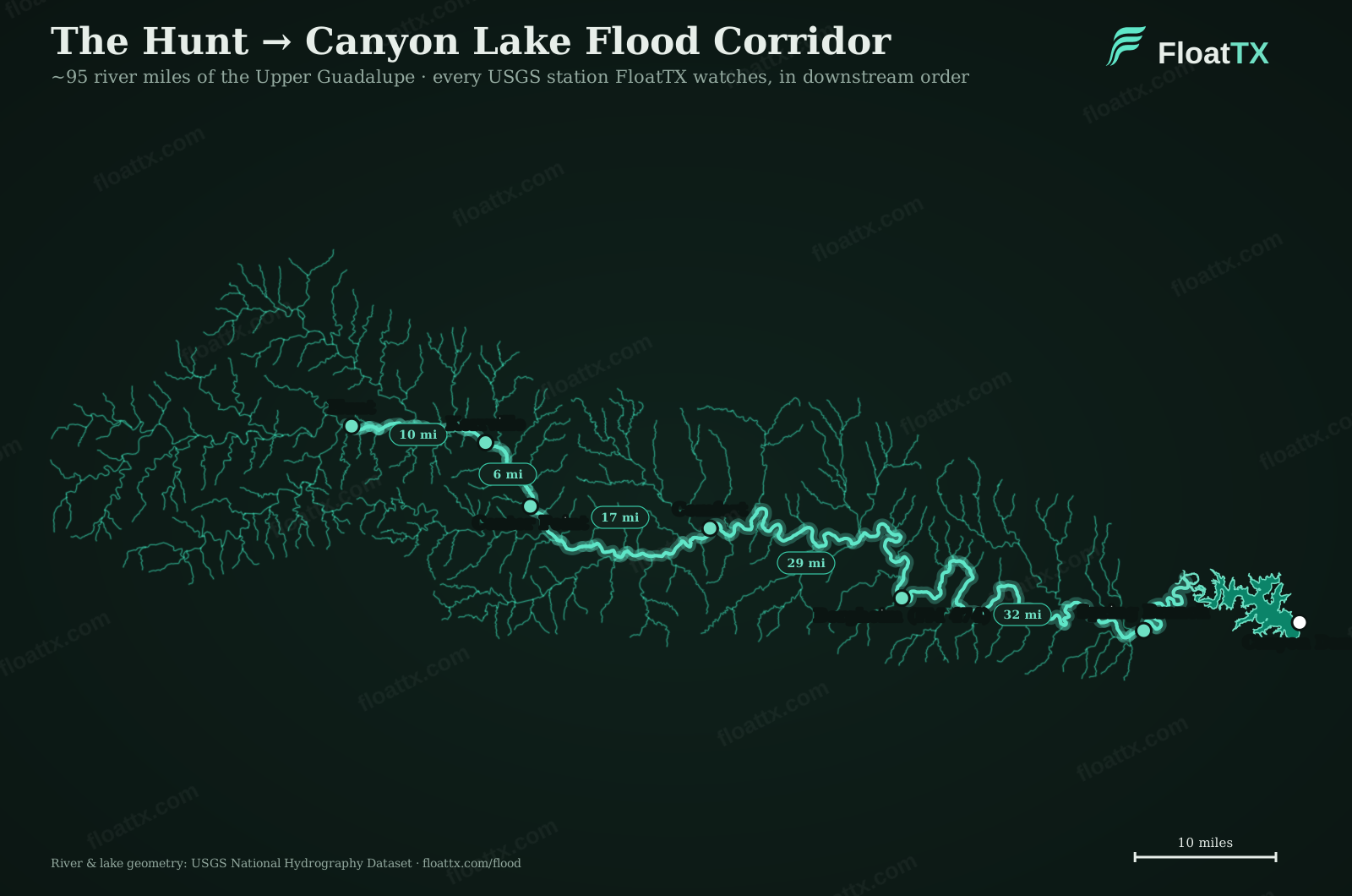
Flood water takes hours to travel the ~95 river miles from the Hunt headwaters to Canyon Lake. This page tracks the wave down the basin, station by station, then pairs the official NWS inflow forecast with live lake and dam-release data, so you can see what’s coming before it arrives.
Rain on the basin
USGS rain gauges along the upper basin, what fell is what’s coming.
The Wave
Tracked station by station down the Guadalupe
Live USGS gauges follow the flood crest from the Hunt headwaters to Canyon Lake, so you can see it coming before it arrives.
Canyon Lake inflow, the official forecast
NWS River Forecast Center hydrograph for the Guadalupe near Spring Branch (SRGT2), observed ■ and forecast ■ stage against the published flood categories.
Canyon Lake & the dam
Loading the current lake level…
FloatTX informs, it is not the flood authority. Forecasts are the National Weather Service’s; dam operations are the U.S. Army Corps of Engineers’. In a flash flood, follow official warnings and local emergency guidance, not a dashboard.